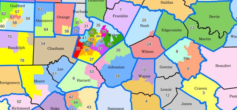
After the North Carolina General Assembly approved legislative and congressional maps, the lawsuit season came upon us. While discussing the lawsuits, U.S. Rep Deborah Ross, a Democrat whose district is in Wake County, criticized the congressional map for splitting Guilford, Mecklenburg, and Wake counties between three districts, saying that “Guilford County is very up in arms about this.”
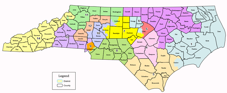
Are the divisions of those counties egregious? It would be helpful to see if dividing those counties is unusual to find out. So let’s compare the last congressional map passed by Republicans (Figure 1, just passed) with the last congressional maps passed by Democrats (Figure 2, passed in 2001).
Figure 1: 2021 Congressional map, approved by Republican-controlled General Assembly
Source: North Carolina General Assembly
Figure 2: 2001 Congressional map, approved by Democratic-controlled General Assembly
Source: North Carolina General Assembly
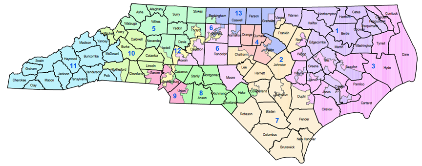
You can click through the source links to get to maps that you can enlarge.
Let’s compare how the five largest counties (based on 2020 Census data) are divided in those two maps.
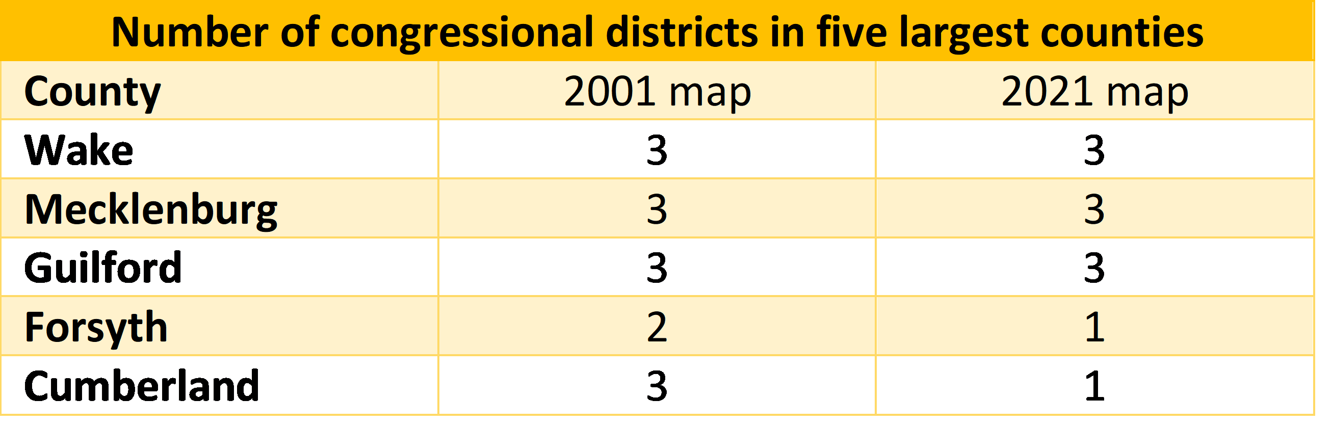
As seen in the table, Wake, Mecklenburg, and Guilford counties were divided between three congressional districts in the 2001 and 2021 maps. The Democratic 2001 map went even further, dividing Forsyth and Cumberland counties while the 2021 map kept them whole.
However you may feel about the 2021 congressional maps, you cannot say that the way the largest counties are divided is unprecedented. In fact, the 2021 map does a better job of keeping counties whole than the 2001 map did.