 University of Toronto professor of Richard Florida, co-founder of CityLab, and his colleague Charlotta Mellander have developed a “Metro Car-Free Index” based on:
- share of households without their own vehicle
- share of commuters who rely on public transit
- share of commuters who bike to work
- share of commuters who walk to work
There’s more to going car-free than idealists and planners realize. As Florida points out,
But being able to go without a car isn’t just a matter of personal commitment—it depends a lot on where you live. Some cities are denser, have much better transit, and are more walkable and bike-able than others.
Area density and and the efficacy of transit options go hand-in-hand, as Wake County leaders learned from 76 transit planners and experts.
Florida and Mellander found that the most car-free large metropolitan areas (San Francisco, Boston, New York, etc.) were “mainly larger, denser, and more congested metros, many of which have very expensive housing prices.”
What about the large metro areas where it was hardest to go car-free?
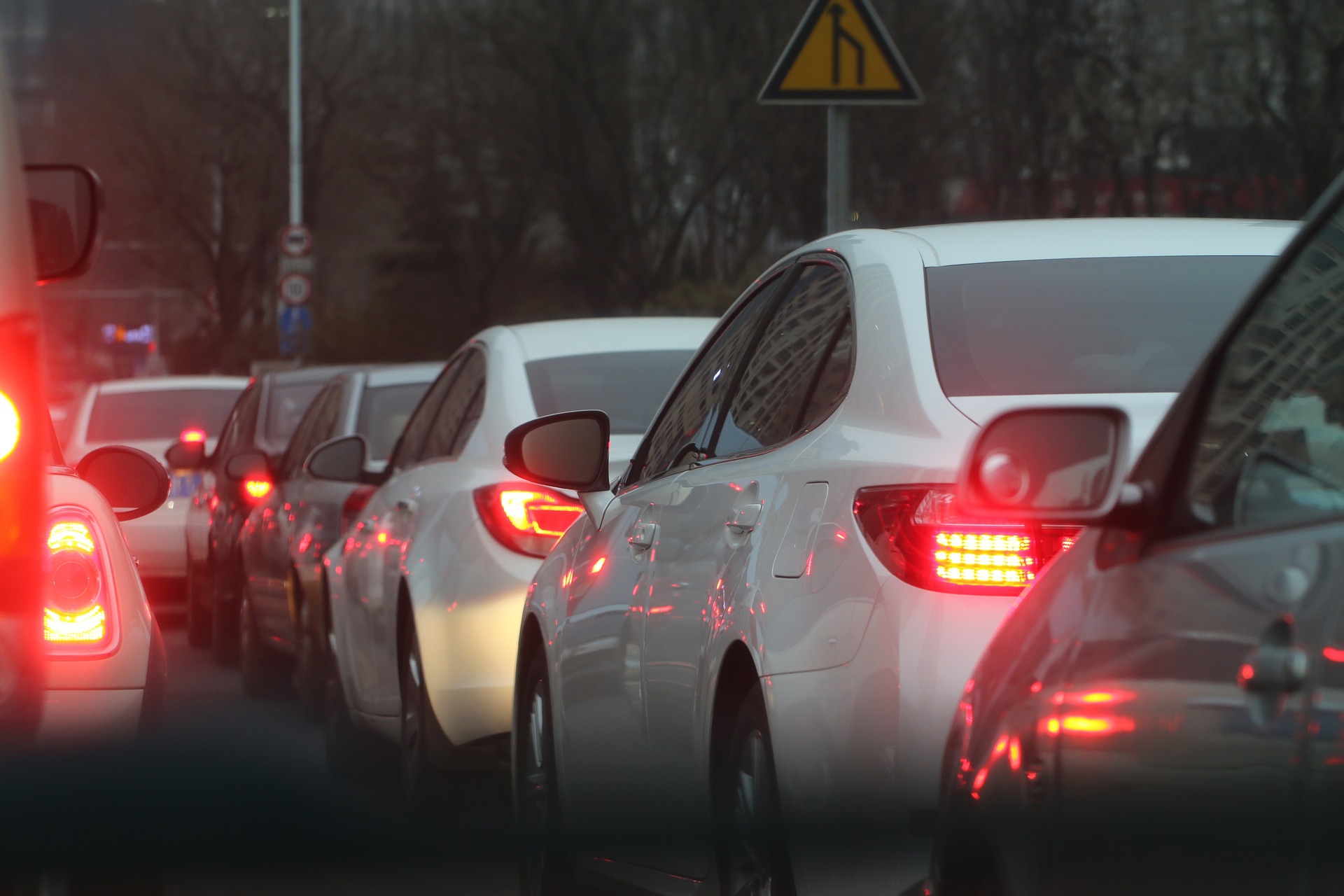
On the flip side, the large metros where it is hardest to go without a car are mainly younger, more sprawling places in the Sunbelt, such as Birmingham, Nashville, Raleigh, Dallas, Oklahoma City, and Charlotte. With the exception of Dallas, these are not-so-large metros with less traffic congestion, where it is relatively easy to get around by car.
 Take a step back from viewing things from the perspective of choosing to go without a car. Having room to spread out and having relatively less traffic congestion are generally good things.
Those aren’t problems to be solved by neglecting roads and spending scarce transportation dollars disproportionately on little-used options. Good transportation policy means respecting people’s choices, not trying to force them into your preferred mode.