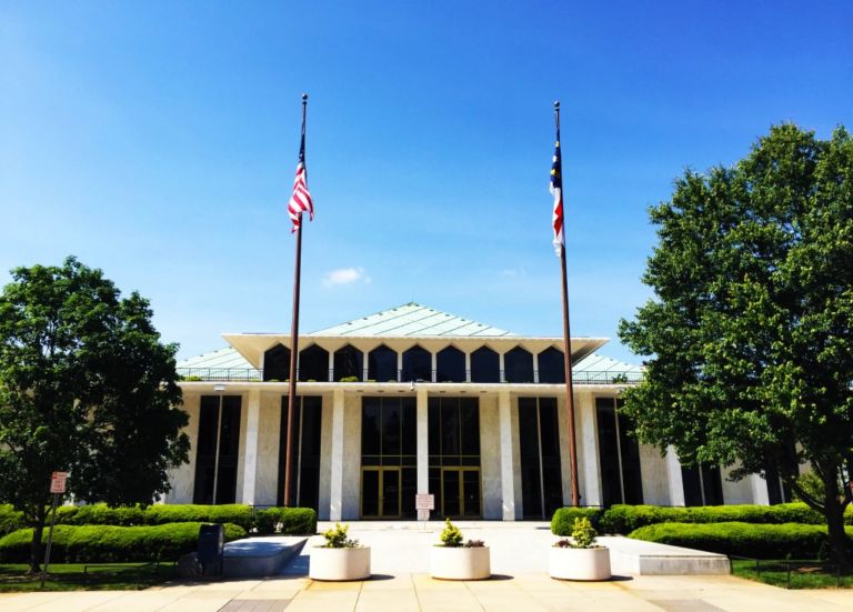
After hosting a series of hearings across North Carolina over the past two weeks, the General Assembly started drawing district maps today. The process kicked off yesterday with both the North Carolina House and North Carolina Senate discussing county groupings and establishing a schedule for map drawing. Legislators will work on proposed maps every weekday in a process that is expected to take at least two weeks.
Article 2, Sections 3 and 5 of the North Carolina State Constitution dictate that the General Assembly shall draw state legislative districts. Article 2, Section 22(5)(d) makes it clear that the General Assembly is charged with drawing districts for North Carolina’s seats in the United States House of Representatives.
Rather than voting on county groupings first and then considering districts within those groupings, the legislature will consider proposals in any configuration of legal groupings and districts. They have published a listing of all the possible county groupings based on work by a recognized group of researchers, but legislators may submit other groupings as long as they are legal. (Hint: there are probably not any legal groupings other than those determined by the researchers.)
There are no plans at the moment to limit how many plans can be considered by legislators, but I expect that they will largely coalesce around a limited number of plans, or even a single plan, over the next few weeks and will debate over and amend those few or one.
Anyone interested in watching map drawing as it happens can go to room 643 of the Legislative Office Building to overserve members of the North Carolina House draw maps or room 544 of the Legislative Office Building to observe Senators. You can also see live streams of the rooms and the computers they are using:


